Mount Hatis is located in Kotayk region just 30 km away from Yerevan. It’s a popular destination for hikers in Armenia and one of the oldest hiking groups is called after it. Hatis is 2528m high, however this biking route takes you as high as 2060m. The tour uses a minimal amount of the main roads and if departing early morning (we left at 6am) before the car traffic starts, there is a good chance you will have very little interaction with it. Leaving early also allows to skip climbing during the hottest hours of the day if you are doing this tour in summer season.
The first part of the trip is really about getting out of the city through Nor-Nork or ‘Masiv’ district and towards Abovyan city. From here you will be cycling through little nice villages. After passing the village of Kotayk, the climb will become more steep. Take it easy as this is the last really hard part today.
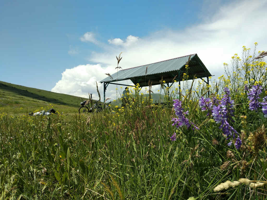
As you finish your climb, you also reach a village of the same name – Hatis. Plan to have a good break here. Ask locals where the water source is (or look at the map, link below) and enjoy your lunch here. The ice cold water comes right from the top and is truly rejuvenating.
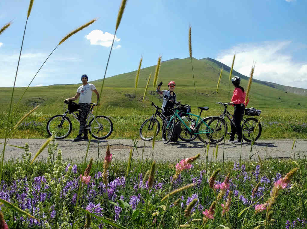
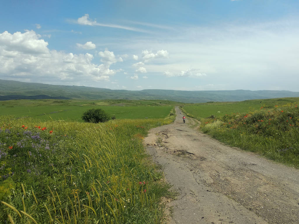
Mount Hatis is located just before the main ridge of Gegham mountains which means that you will be looking at them after you leave Hatis village and head back. The road here is in much worse condition which is a good reason to slow down and enjoy the scenery.
Practical Info
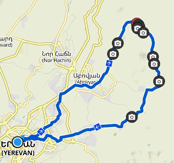
Map 
Elevation profile

- Type: round trip
- Length: 73.5km
- Climb: 1300m
- Altitude: 1020-2060m
- Surface: mostly asphalt (destroyed in some parts)
- Difficulty: medium-hard
- Sightseeing: Kaptavank Church in Kaputan, Mount Hatis
- Food: have a picnic near the mountain source in Hatis village. There is a small shop in every village you pass.
- Drink: plenty of villages to ride along, plenty of public sources are available
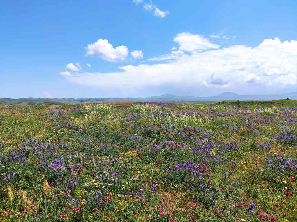
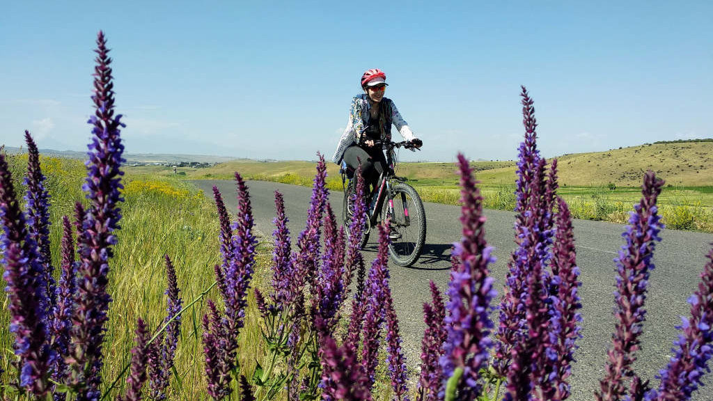
- Best season: year-round, but spring and early summer will surprise you with flowers
- Link to Komoot Tour